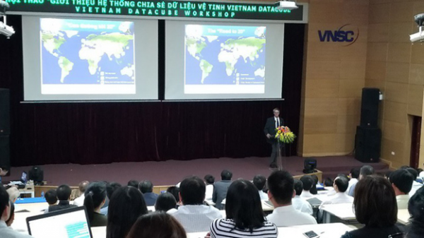
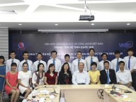
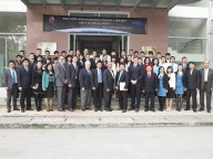
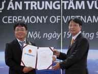
On the 06th of March 2018, Vietnam National Space Center (VNSC) – Vietnam Academy of Science and Technology (VAST) organized a workshop “Introduction of satellite data sharing system Vietnam Data Cube” in Hanoi.
Attending the workshop, there were representatives from the Ministry of Natural Resources and Environment, Ministry of Agriculture and Rural Development, the Ministry of Science and Technology, Vietnam Academy of Science and Technology, the Mekong River Commission, universities and international experts from space agencies around the Worlds such as Australia, the United States, France, Japan and European Union.
Dr. Alex Held from The Commonwealth Scientific and Industrial Research Organisation (CSIRO) introduces Data Cube and its applications
Vietnam Data Cube was developed to provide Vietnamese Earth observation satellite data users with a satellite image database as well as free tools which reduce time and expertise knowledge to use satellite data; analyze effective time series to support the applications of cover changes, forest and land utilization status; using multiple sets of satellite data; support customer and Vietnamese users…
At the same time, Vietnam Data Cube also aims to improve the capacity of users to use Earth observation satellite data in Vietnam, thereby contribute to global priority programs such as programs in Sustainable Development Goal of the United Nations (UN-SDG) and Paris and Sendai Agreements.
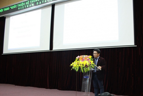
Assoc. Prof. Dr. Pham Anh Tuan, Director General of VNSC
speaking at Vietnam Data Cube Workshop
Speaking at the workshop, Assoc. Prof. Dr. Pham Anh Tuan, Director General of VNSC noted: Committee on Earth Observation Satellites (CEOS) is a founding partner of Data Cube to find valuable data architecture solutions for global users and to enhance the role of Earth observation satellite data. The goal of Data Cube is to provide free, open and exploitable tools, to promote community development and maintain applications both in breadth and depth.
Now, Earth observation satellite data have been used not only in research but also in practice for sustainable development goals, which shows great potential in resolving important issues such as environmental, economic and social issues at local, regional and global scales.
In fact, new generations of Earth observation satellites are providing increasingly large amounts of data on the global scale so for many applications, the challenge is not the lack of data but rather how to connect data, applications and users.
Even today, a lot of satellite data have not been exploited in spite of the availability of modern analytical and computing equipment. The challenges of data management and analysis due to the huge increase of open and free satellite data volumes can be overcome by new computer infrastructures, technologies and data structures as “Data Cube”. New computing devices, technologies and data structures as Data Cube can help in data management and analysis to cope with the challenges from huge open and free data volumes.
“Through a free satellite database and open exploiting tool, Vietnam Data Cube system will contribute to create deeper and broader applications for socio-economic sustainable development goals, not only for Vietnam but also for other countries within the region”, Assoc. Prof. Dr. Pham Anh Tuan shared.
Owing to the support of I.M.System Group (USA), a modern server system with capacity of storing up to 200 TB has been established at the Vietnam National Space Center. Along with that, Data Cube software system is provided by CSIRO. In the first period, Vietnam Data Cube will gather the satellite data of LandSat (United States), Sentinel (European Community) and ALOS (Japan) for the whole territory and develop applications for Vietnam in forest monitoring, rice monitoring and water monitoring.
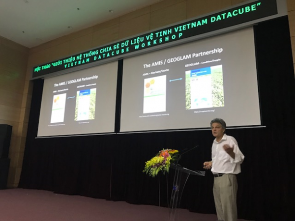
Prof. Chris Justice – University of Maryland introducing Data Cube application on Global agricultural monitoring, International coordination: GEOGLAM
At the workshop, experts introduced Data Cube and specific applications in many countries in the world; Vietnam Data Cube with forest, rice and water monitoring; demand on using satellite remote sensing data for Mekong river basin as well as at Forest Inventory and Planning Institute (FIPI).
International experts’ reports and Vietnamese end-users’ comments all confirm that Vietnam Data Cube system will not only be a free, open satellite data sharing source for Vietnamese users but also an useful tool with powerful analytical capability, which will make it easier to implement satellite image applications in Vietnam.

